
PX Atlas – Free Joomla Map Extension with Layers
Interactive maps with layers: markers, routes and areas on OpenStreetMap, Google Maps or your own picture, with popups, tooltips and side panels. For store locators, city guides, delivery zones and floor plans. Free.
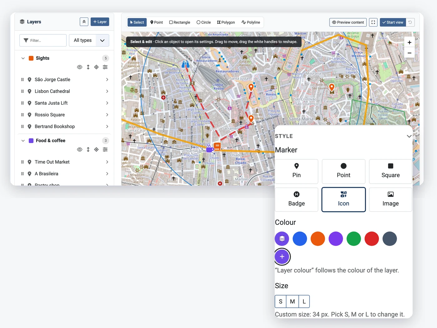
Draw your map in the Joomla administrator
Layers and objects on the left, the map on the right. Place points, draw routes, polygons, circles and rectangles, drag them into place or type exact positions, and set the view visitors see when the map loads.
- Points, polylines, polygons, circles, rectangles
- Up to 200 layers and 5,000 objects per map
- Full screen, start view, keyboard shortcuts
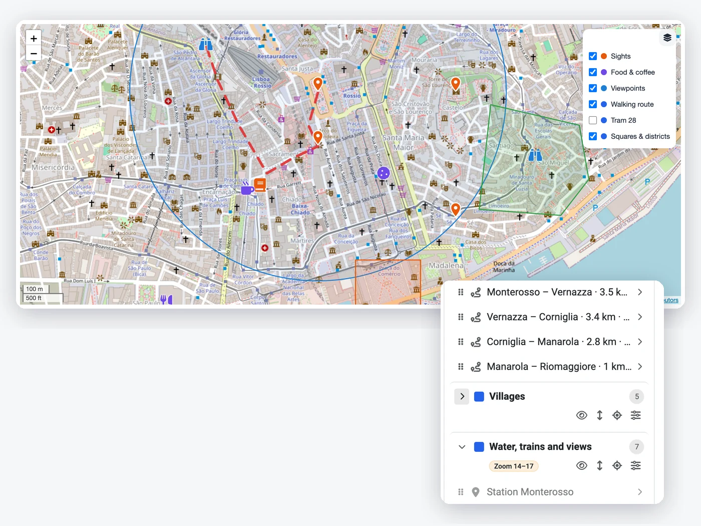
Layers visitors can switch on and off
Group objects in layers with their own colour, order them, hide a layer when the map loads, and give layers or single objects a zoom range so details only appear when visitors zoom in.
- Layer control in any corner
- Layers hidden at load
- Zoom ranges for layers and objects
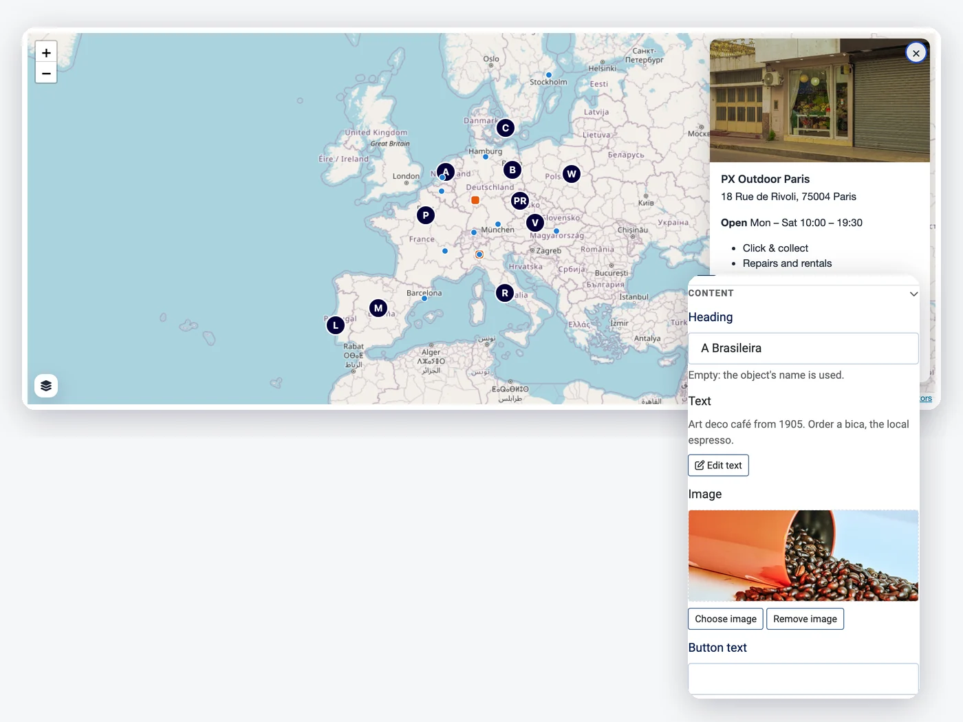
Popups, tooltips and side panels
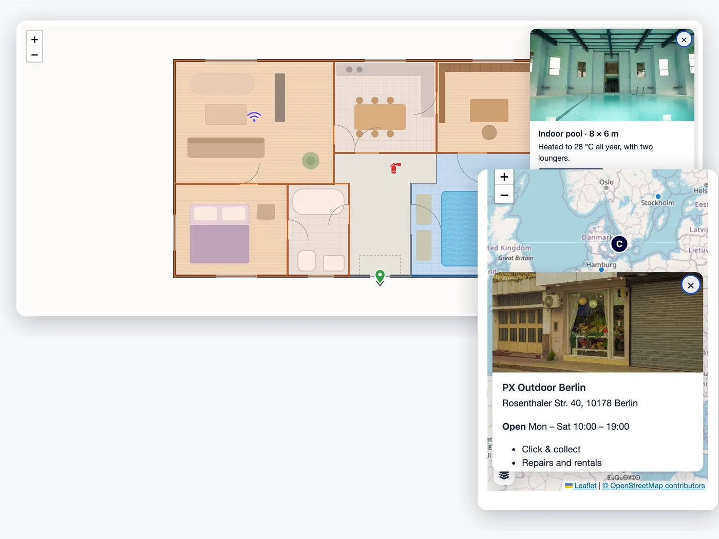
Every object can show a heading, formatted text, a picture and a button. Open it as a tooltip, a popup or a side panel next to the map, on click or on hover; on small screens it becomes a bottom sheet.
- Pin, point, square, badge, icon or image markers
- Text from Joomla's editor, image and button
- Click or hover, keyboard friendly
OpenStreetMap, Google Maps or your own picture
Use OpenStreetMap with no setup (or your own tile server), Google Maps with your API key, or an image map: a floor plan, campus or festival map from the Media Manager, with positions in pixels.
- OpenStreetMap and custom tile servers
- Google Maps with an API key
- Image maps from JPG, PNG or WebP
How to install PX Atlas in Joomla
Install the package
Upload it in the Joomla extension manager, like any other extension.Set it up
Adjust the options to fit your site from one settings screen.Stay up to date
One-click updates from the Joomla update screen — free, no download key needed.All PX Atlas features
Everything you get out of the box — no add-ons to buy.
- Visual map editor with layers
- Points, polylines, polygons, circles and rectangles
- Pin, point, square, badge, Font Awesome icon or image markers
- Heading, formatted text, image and button for every object
- Tooltip, popup or side panel, on click or hover; bottom sheet on phones
- Layer control, hidden layers and zoom ranges
- OpenStreetMap, Google Maps or your own picture (image maps)
- Module for any position, {loadmoduleid} in articles, several maps per page
- Command line import / export and a guide for AI agents
- Joomla ACL and languages; keyboard and touch friendly
- Free · Joomla 5.4 & 6 · PHP 8.1+ · MySQL / MariaDB
PX Atlas is free.
Free to download, free to use.
PX Atlas is free for every registered user. Want all our premium templates too? Have a look at our membership plans.
PX Atlas updates & FAQ
PX Atlas is actively maintained and kept compatible with the latest Joomla releases.
PX Atlas changelog
- v1.0.0 Nov 16, 2026 Initial release: visual map editor with layers, points, polylines, polygons, circles and rectangles, pin / point / square / badge / icon / image markers, content with text, image and button, tooltip, popup or side panel, zoom ranges, OpenStreetMap, Google Maps and image maps, module and {loadmoduleid}, command line import / export.
Frequently asked questions
Is PX Atlas really free?
Yes. Sign up for a free account and download PX Atlas — no credit card, no membership.
Can I use it on client websites?
Yes, on as many websites as you like. It is released under the GPL.
How do I update PX Atlas?
New versions show up in System » Update » Extensions in Joomla. Select it and click Update — no download key needed.
Will it work with my template?
Yes — our extensions do not depend on a specific template or framework.
Can you build a custom extension for me?
Yes — we build components, modules and plugins for Joomla 5 and 6, from a small tweak to a complete application.